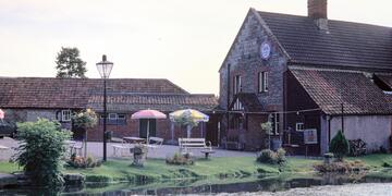
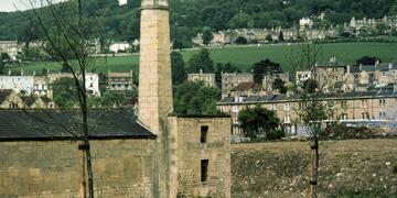
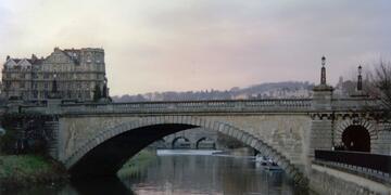
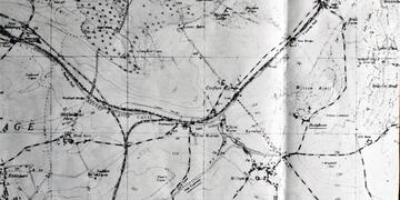
A logical collection of the navigable waterways between Reading and Bristol comprising the Thames Conservancy's section of the River Kennet, the Kennet Navigation, the Kennet and Avon Canal and the Avon Navigation. Location Codes in square brackets, used to order the pictures, are based on the CRT codes for the canal and are in the form KA-kkk-mmm where kkk is the kilometre length and mmm the number of metres into that length. They start at km length No.1 hence at KA-001-000 so the values are 1km less than the actual length from the start. The K&A according to CRT starts at the former Highbridge Wharf in Reading the first 1.45km from the Thames, including Blakes Lock being Thames Conservancy water. For consistency within the album, the Location Codes are negative from Highbridge Wharf. The codes for the beginning and end of the sub albums are shown in their 'Album Description' box. The names used for bridges and locks are those assigned by CRT but in some cases, an alternative name from an old OS map is also used.