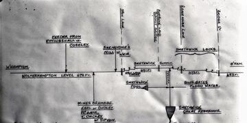
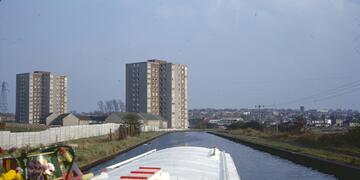
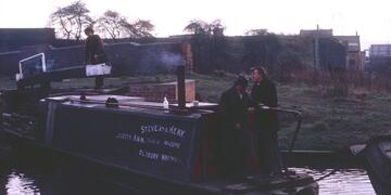
The Birmingham Canal Navigations (BCN) is a complex network of canals in Birmingham, and the "Black Country" to its north and west. It comprises many interconnected routes, and a plethora a short branches leading to wharves, collieries, and other industrial sites. Some sketch maps of the network are included in the Introduction album, but the viewer is directed to one of the many books about the BCN for more details of its history and layout.
The coloured map in the Introduction album explains how the BCN has been split into sections for the various albums, that seek to present the BCN in a logical manner, commencing with the New Main Line, from Worcester Bar (in what is now known as Gas Street Basin) in the centre of Birmingham, to Aldersley Junction north of Wolverhampton, where it terminates at a junction with the Staffordshire and Worcestershire Canal. The albums then proceed in a broadly anti-clockwise direction to present the other BCN canals.
Please bear with us whilst we update these albums, and add additional images.
The coloured map in the Introduction album explains how the BCN has been split into sections for the various albums, that seek to present the BCN in a logical manner, commencing with the New Main Line, from Worcester Bar (in what is now known as Gas Street Basin) in the centre of Birmingham, to Aldersley Junction north of Wolverhampton, where it terminates at a junction with the Staffordshire and Worcestershire Canal. The albums then proceed in a broadly anti-clockwise direction to present the other BCN canals.
Please bear with us whilst we update these albums, and add additional images.